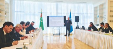
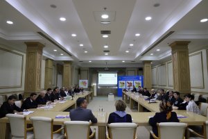
Experts from the Food and Agriculture Organization of the United Nations (FAO) Maxim Gorgan, Renat Zagretdinov and David Egiashvili visited Turkmenistan. During their stay, they held meetings with leaders and representatives of various interested ministries and departments to discuss the digitization of the State Land Cadastre of Turkmenistan.
As reported in the “Neutral Turkmenistan” newspaper, the results of consultations and discussions will serve to create an institutional basis for the future electronic document.
- Turkmenistan has begun measures to improve land management, geodesy and cartography, and transfer them to the digital plane. This creates the basis for the formation of a land cadastre in electronic format, which in turn will lead to a more efficient system of state accounting of land resources, - says Govshut Shadurdyev, head of the land cadastre and GIS technology management department of the Land Resources Service of the Ministry of Agriculture.
Let us remind that land in Turkmenistan belongs to the state; there are various forms of use, rent, etc. in the country. Today there are advanced geodetic methods for obtaining a correct map of the boundaries of lands allocated to public and private users, which involves the use of computer technology for processing satellite information. Experienced Turkmen specialists are involved in this work, including experts from a two-year joint project of the Ministry of Agriculture of Turkmenistan and FAO “Support in the creation of a digital land cadastre”.
The visit of FAO experts, the second in a row, is dedicated to the practical acquaintance of land managers, cartographers, and state land accounting specialists with digital technologies, as well as testing of the latest generation of geodetic equipment. FAO representatives also gave a lecture at the Turkmen Agricultural University. S.A.Niyazov.
